Introduction
British Canoeing is currently unable to endorse any Access Arrangement on the River Lune in Cumbria. It is regretted that all attempts to renegotiate an easing of access restrictions with the Underley and Rigmaden Estates for the Rigmaden to Kirkby Lonsdale section of the River Lune since November 2012 have been unsuccessful. The estate's management maintain permission is needed to paddle the Lune where the river flows through the estates. British Canoeing recognises the opinion expressed by DEFRA that the law to use and paddle on unregulated (non tidal) rivers is unclear.
British Canoeing advises that the decision whether or not to paddle is the responsibility of individual paddlers and that access to or from the river is possible either by using public rights of way or where permission to cross private land has been agreed with the landowner. Further regard should be given to environmental conditions, the needs of others water users and other factors as highlighted in the British Canoeing leaflet “You, your canoe and the environment”.
The notes below only refer to access and egress points; please check other sources for information regarding the grade, features and hazards of the various sections.
N.B. Parking at some of the access and egress points suggested can be limited as roads can be narrow, busy, and regularly used by large agricultural vehicles. Please park appropriately and with due consideration towards other road and river users.
We hope that you enjoy paddling on this fabulous river. Please be ambassadors for our sport and don't give any cause for others to legitimately criticise our behaviour either on or off the water. Follow the advice provided by the British Canoeing leaflet “You, your canoe and the environment” for responsible access and respect the aquatic environment, local wildlife and other recreational users you may meet. Please contact Cumbria Regional Waterways Adviser for further information or to report obstructions on the river or any other issues.
Tebay OS Grid Reference NY609032The suggested access point is to the south and west of Tebay. Follow the A685 south from Tebay; if you want to inspect Tebay gorge then stop on the old bridge before the road crosses the railway and M6 for views up and down the gorge. Continue along the A685 and immediately after it crosses the new bridge turn right onto the minor road to Roundthwaite. Follow this for 600m to a small muddy layby on the right where a public
footpath leads to the confluence of Roundthwaite Beck and the Lune. This section ends at Beckfoot which is easily reached (by car) by following the A685 south, first left onto the B6257 under the M6 after which the second left is the minor road leading under the viaduct and down to Beckfoot. |
Beckfoot OS Grid Reference SD619963Parking on the very narrow lane at Beckfoot continues to cause problems for the good folk who live there. We have been requested to avoid driving down the steep, narrow lane and instead to park sensibly under the viaduct or on the verges of the B6257 clear of any gates (and bearing in mind that this can be a busy road) and carry down the lane to access the river.
|
Lincoln Bridge SD 63155 92227
|
Killington Bridge OS Grid Reference SD 623907
|
Rawthey Confluence
|
Rigmaden BridgeBritish Canoeing believes the law regarding access is unclear and advises that the decision whether or not to paddle is the responsibility of individual paddlers. In order to avoid crossing estate land at Rigmaden the river may be accessed at the Rawthey Confluence bridleway as described above.
|
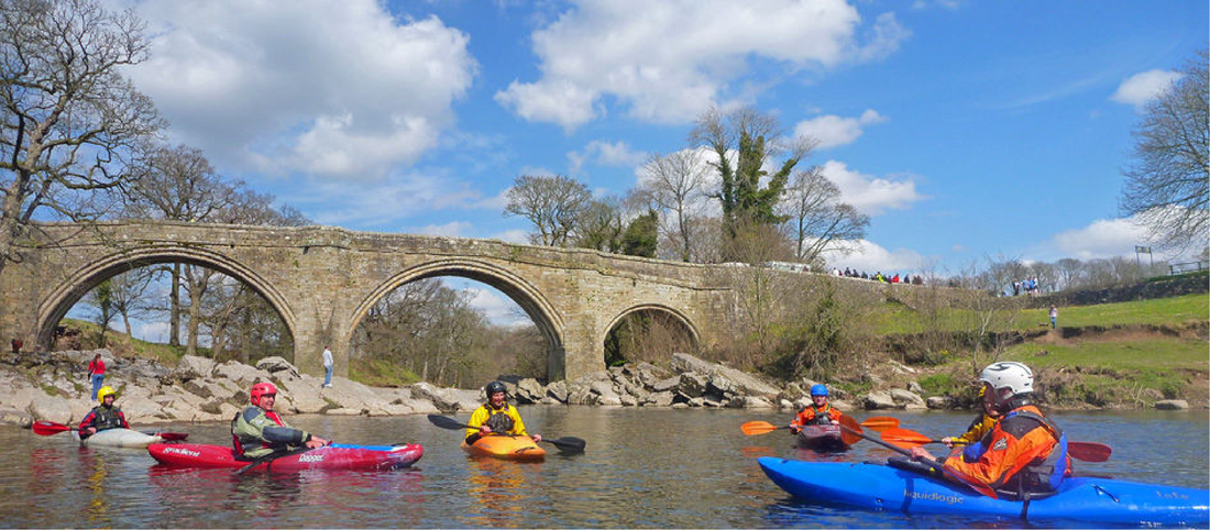
Kirkby Lonsdale (Devil’s Bridge)
|
Loyn Bridge (SD580698)Continuing downriver from Devil’s Bridge will take you into Lancashire and out of the Cumbria region. Well worth it in spite of that (!) as it gives a beautiful 10km of gentle touring; egress is on the right bank, straight onto a footpath and the layby west of Loyn bridge.
|
